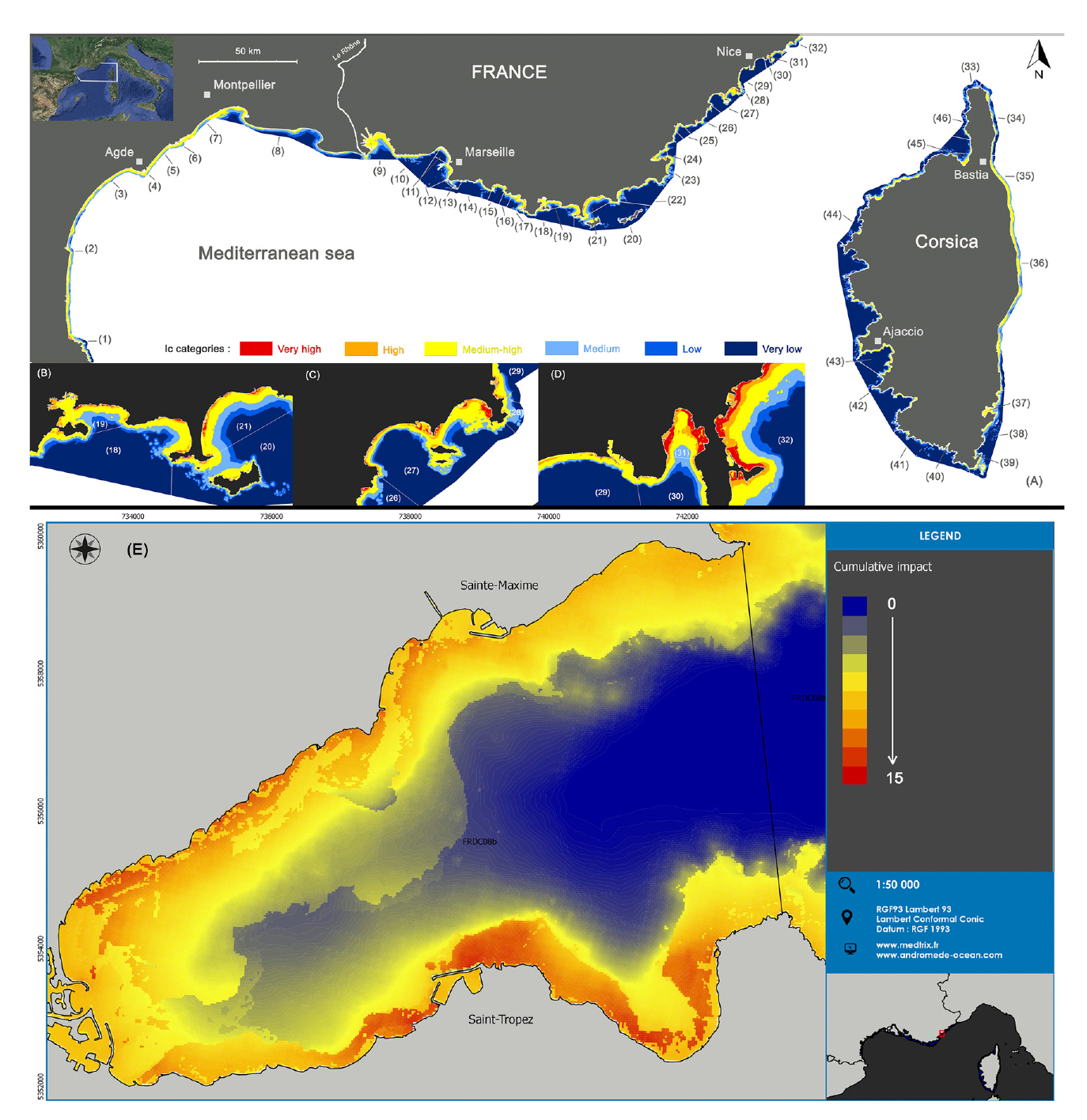
The objectives of this study are to map and quantify the main pressures exerted on near-coast marine ecosystems, at a large spatial scale though in fine and relevant resolution for managers (one pixel = 20 x 20 m). It focuses on the French Mediterranean coast (1,700 km of coastline including Corsica) at a depth of 0 to 80 m. After completing and homogenizing data presently available under GIS on the bathymetry and anthropogenic pressures but also on the seabed nature and ecosystem vulnerability, we provide a fine modeling of the extent and impacts of 10 anthropogenic pressures on marine habitats.
The considered pressures are man-made coastline, boat anchoring, aquaculture, urban effluents, industrial effluents, urbanization, agriculture, coastline erosion, coastal population and fishing. Around two thirds of the bottoms are found within medium and medium high cumulative impact categories.
Seagrass meadows are the most impacted habitats. We also identified areas in need of a special management interest. This work should contribute to prioritize environmental needs, as well as enhance the development of indicators for the assessment of the ecological status of coastal systems.